We Partner to Co-Develop Solutions
We empower our partners with greater situational awareness of the changing regional environment, improving their ability to:
- monitor emerging threats and opportunities and project future impacts at scale
- prioritize where to implement measures that increase resilience in our natural systems
- communicate the need for action
Monitor. Project. Prioritize.
1
Monitor
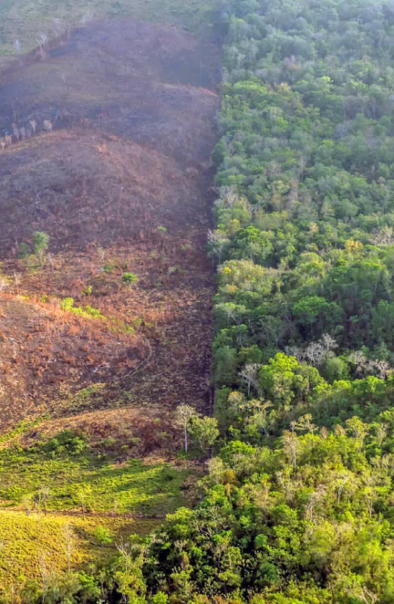
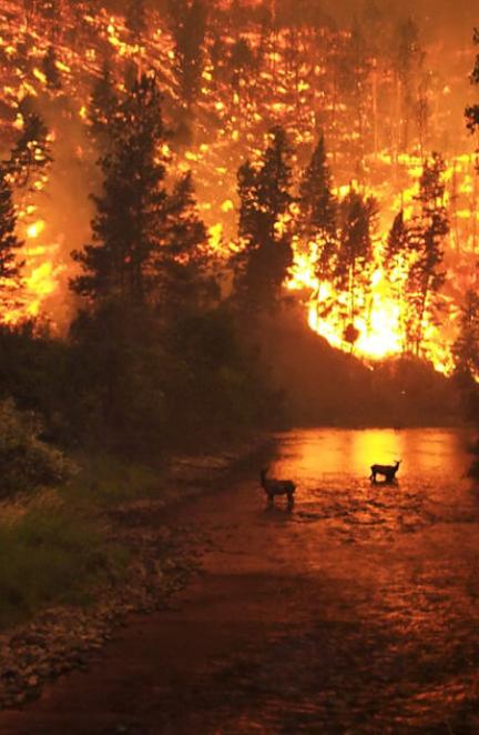
Land managers often lack the capacity to monitor the changing landscape at the pace and scale needed to assess potential impacts to species and ecosystems, hindering their adaptive management plans.
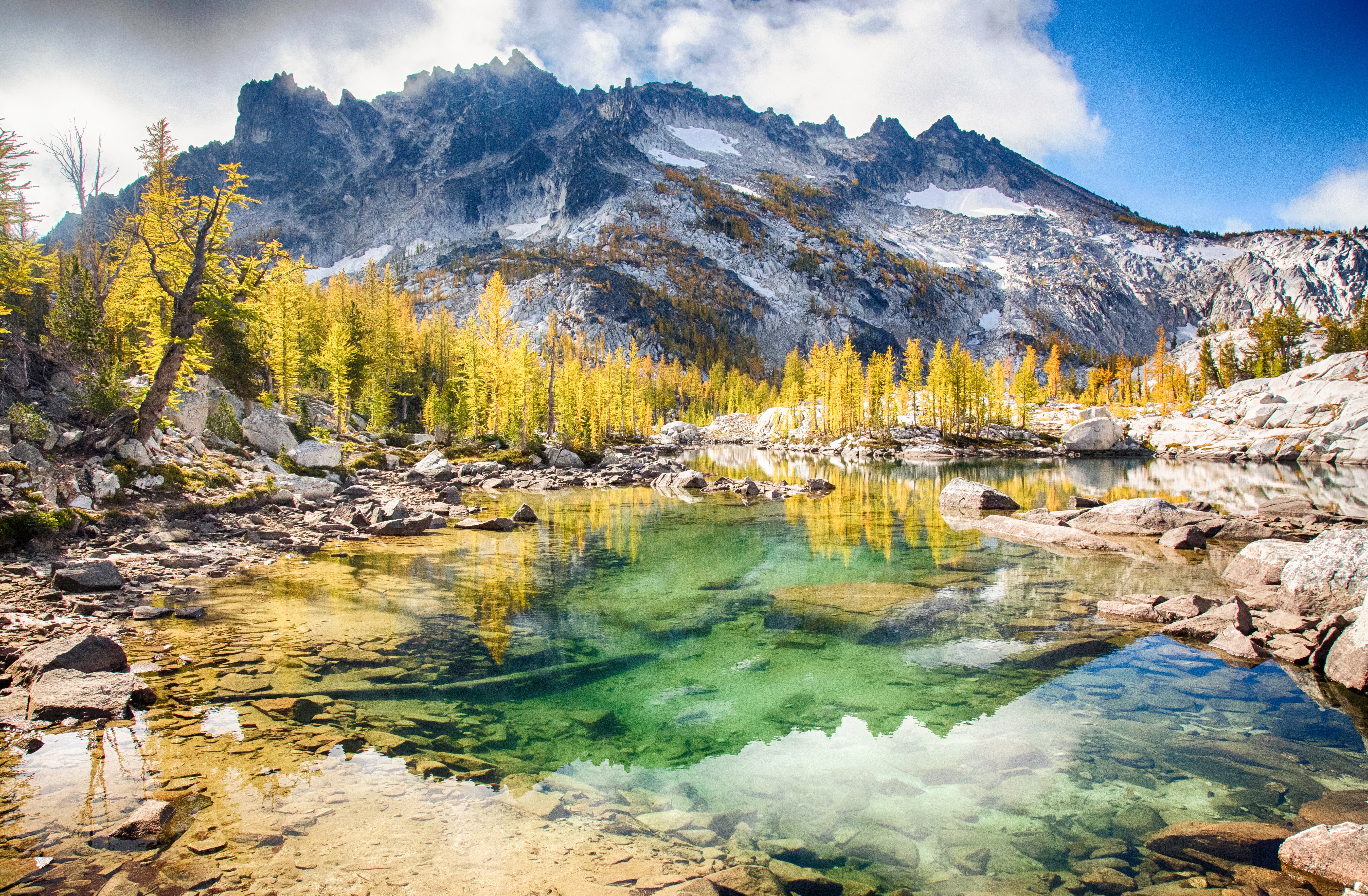
Dynamic Monitoring and Assessment
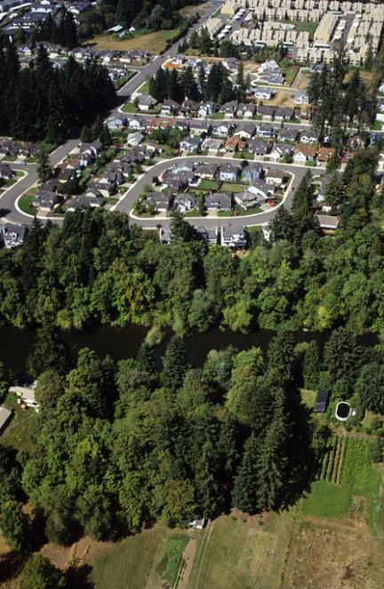
We use the latest remote sensing and cloud computing technologies to dynamically monitor the regional environment, providing powerful insights into the current status and recent trends in habitat and connectivity over the past several decades. Our maps and dashboards help you visualize, quantify change, and tell spatial stories about your area of interest. And they update automatically every year, providing you with always up-to-date information to guide decision-making in near-real time.

2
Project
Management plans often lack spatially-explicit information on potential future impacts of climate change. Without guidance on where to act now to increase resilience to climate impacts, managers can't be proactive about addressing future threats.
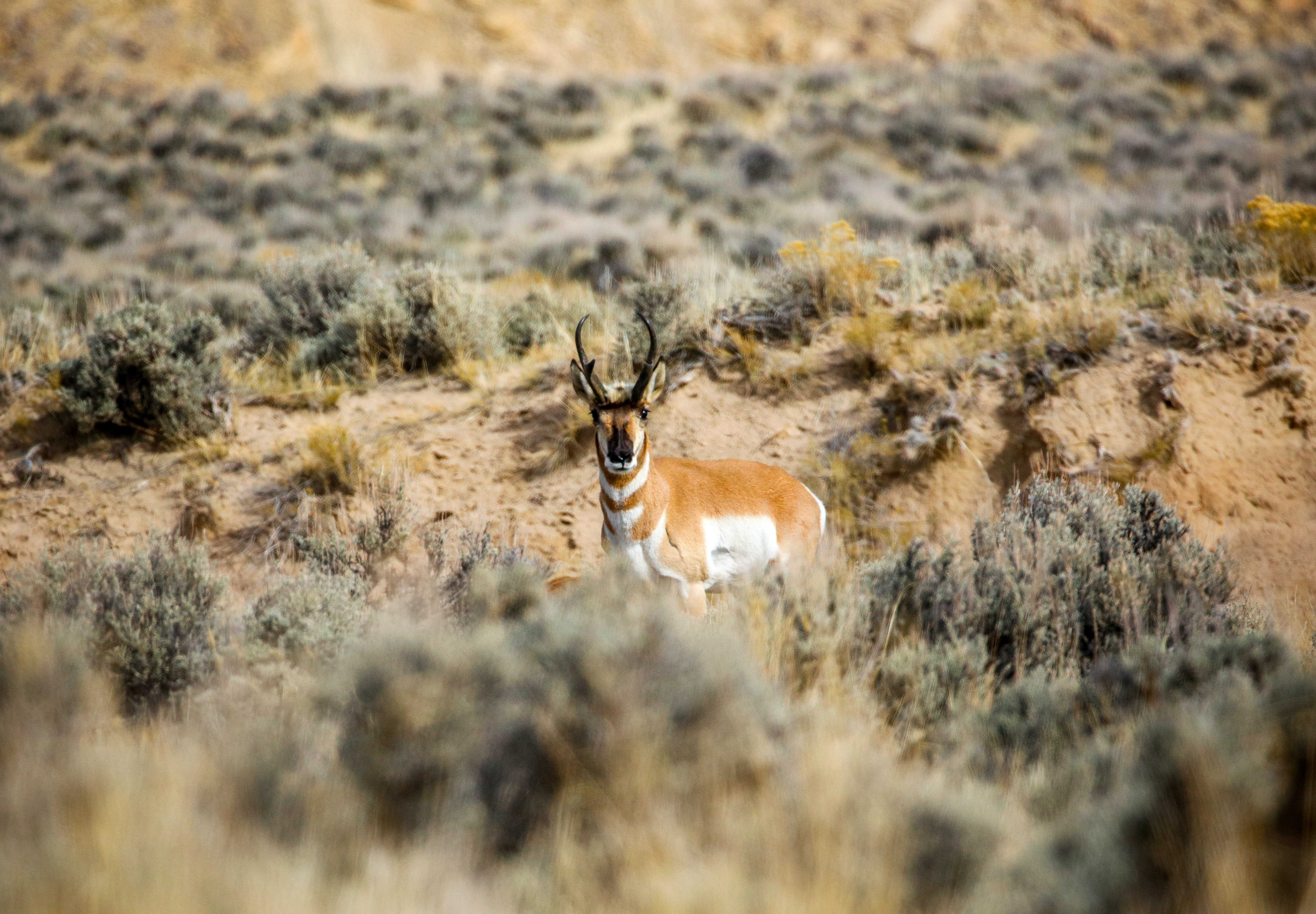
Projected Range Shifts and Climatic Refugia
We project future ranges of species and ecosystems of interest and identify potential climatic refugia as well as corridors that may link current to potential future habitat. In our increasingly fragmented landscapes, protecting these areas now while they're still intact is critical.
3
Prioritize
Monitoring programs are often not linked to dynamic assessments of where to act, limiting the ability of managers to respond quickly to emerging threats and opportunities.
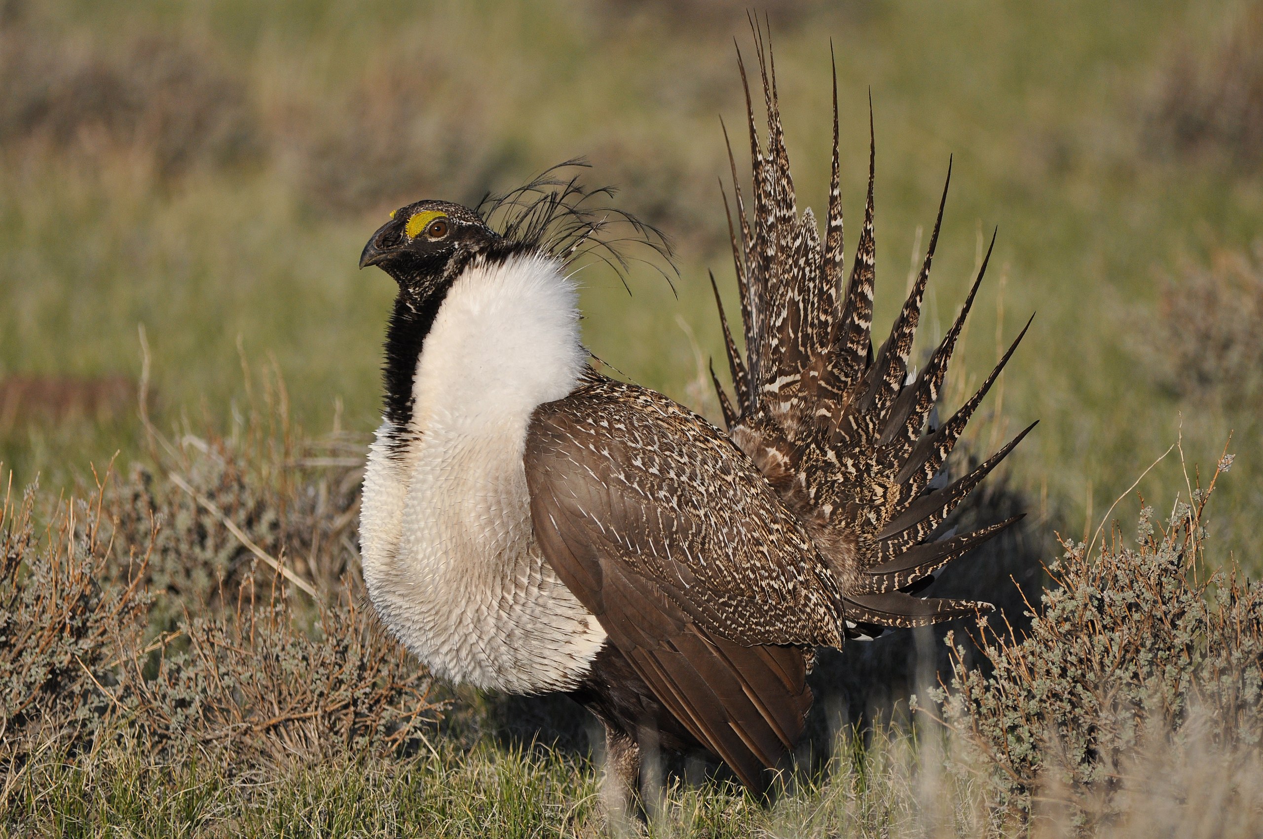
Spatial Priorities and Conservation Designs
We help our partners develop landscape conservation designs that are linked to our monitoring data and future projections so they can prioritize where to implement key actions that increase resilience.
We Can Provide Solutions Anywhere
TerrAdapt in Action
Our cloud-based tools and workflows can deliver dynamic monitoring and assessment and spatial decision-support to virtually any region on Earth. We partner with governments, Indigenous Peoples, and conservation NGOs anywhere our environmental stewards are struggling to keep up with our rapidly changing world, helping them monitor, project, and prioritize to meet their conservation mandates. To learn more about how TerrAdapt is being applied, please click the region location icons on the map.
Where next?
TerrAdapt co-develops cutting edge tools and dynamic datasets to serve regional-scale conservation planning needs, anywhere.
How can we help?
To learn more about how our TerrAdapt team can support your efforts wherever you are in the world please contact us.