Planning for a Resilient Future
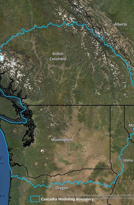
Across it's expansive forests, high mountain peaks, and arid shrubsteppe, Cascadia is experiencing severe impacts from our expanding human footprint and rapidly changing climate. To keep iconic species such as salmon, grizzly bear, wolverine, lynx, and sage grouse in our landscape requires that we act together across boundaries, with strong situational awareness of where the threats and opportunities exist, and the ability to manage our lands and waters adaptively. We co-developed TerrAdapt:Cascadia with our partners - including state, provincial, and federal agencies, First Nations and Tribes, and NGOs - to improve the region's capacity to monitor the changing landscape at scale, project future impacts of climate change, and prioritize strategic places for protection and restoration actions that increase resiliency in our natural systems.

Enabling Adaptive Management
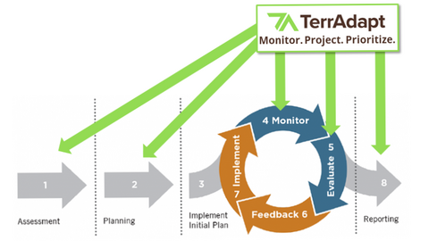
TerrAdapt's dynamic data products have applications throughout the adaptive management cycle. Our regional monitoring and assessment products can be used to form a landscape-scale conservation plan, and then monitor and assess it's effectiveness in conserving habitat and connectivity. Our map and dashboard portals help users evaluate progress towards goals, report status and trends and provide feedback that can be used to adapt the plan to changing conditions over time. Because all our data products update automatically each year, managers always have the latest data seamlessly across our entire region. This enables a more modern and nimble form of adaptive management that can keep up with the pace and scale of change.
Monitoring our Forests
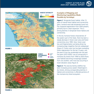
TerrAdapt's forest structure monitoring metrics - including canopy cover (right), canopy height, and tree diameter - help our partners track changing forest conditions so they can manage their lands adaptively in ways that support our region's diversity of wildlife and native habitats. For example, the Washington Department of Natural Resources will use these metrics in their Forest Action Plan, which will guide actions to restore and conserve Washington's forests.
Tracking forest canopy cover
These forests are essential to protecting biodiversity, fighting climate change, and safeguarding our air and water
- Hillary Franz, Commissioner of Public Lands
Projecting Future Conditions
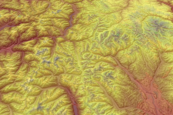
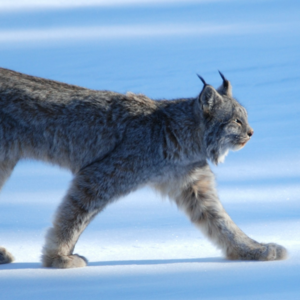
Our rapidly changing climate is driving widespread impacts to regional species and ecosystems. For example, warming temperatures are leading to reduced snowpack, more wildfires, and other impacts that are driving losses in lynx habitat in Washington and southern British Columbia. TerrAdapt allows lynx managers to see how predicted climatic changes, including precipitation and temperature (left), could shift the range of this species in our region, helping managers make climate-smart investment in lynx conservation.
Projecting regional impacts to lynx habitat
Prioritizing Action
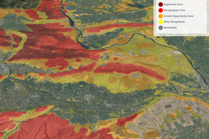
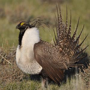
TerrAdapt works with partners to co-develop regional spatial conservation designs that prioritize landscapes for conservation actions like protecting or restoring habitat and mitigating movement barriers. Mapping these priorities using TerrAdapt's dynamic data allows the priorities to be dynamic too. For example, the map at right shows dynamic spatial priorities TerrAdapt co-developed with the Washington Shrubsteppe Restoration and Resiliency Initiative.
Prioritizing conservation actions for Washington's shrubsteppe ecosystem
Working collaboratively across boundaries through shared stewardship to do the right work, in the right place, at the right scale contributes to landscape scale wildlife conservation efforts
- Mike Kuttle, Washington Department of Fish and Wildlife
Our Work in Cascadia
TerrAdapt is working with dozens of partners across Washington and southern British Columbia. Explore our recent projects to learn more about our work in Cascadia.
Recent Projects
- Info
- Dash
- Map
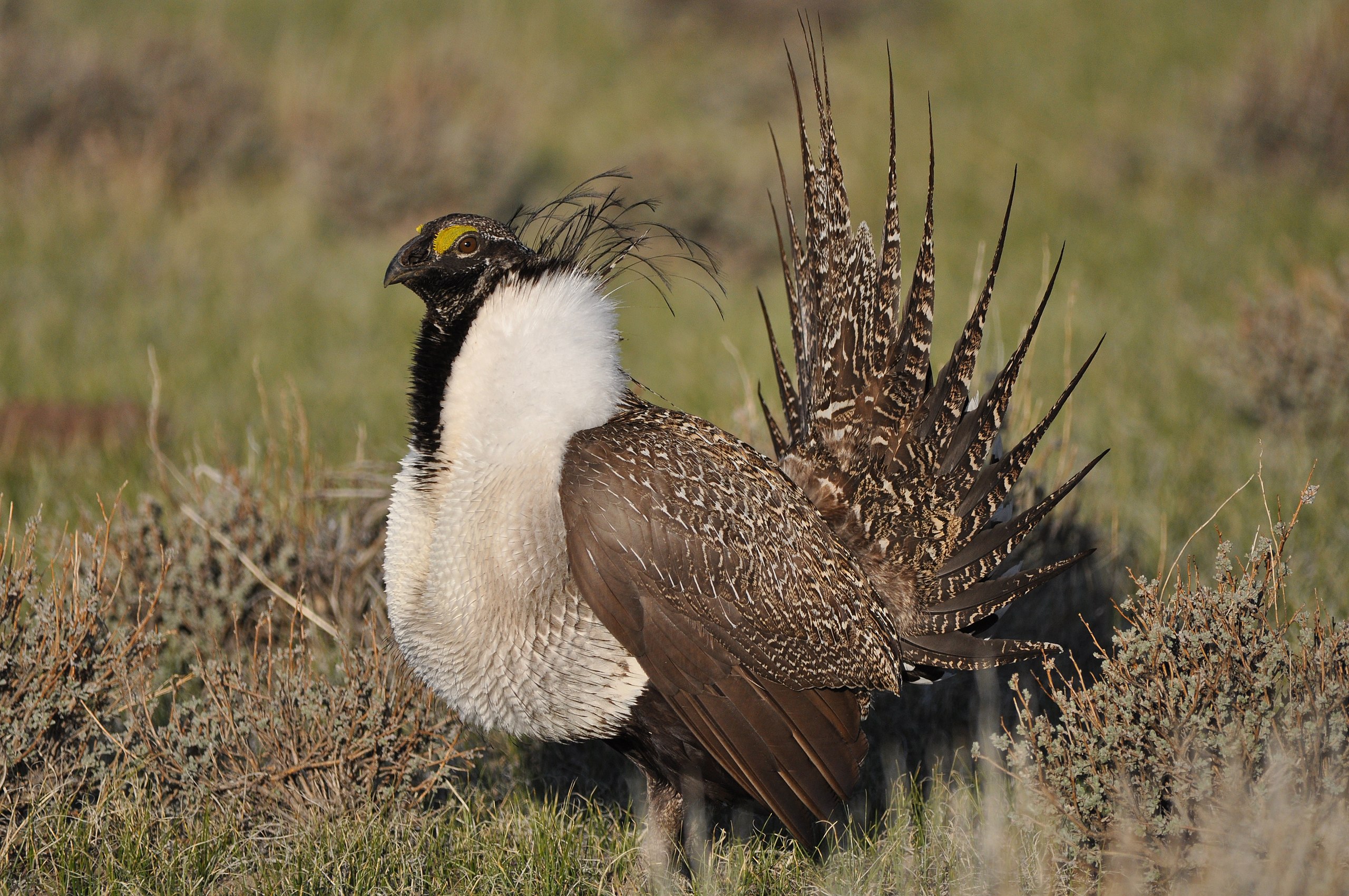
Washington Shrubsteppe Restoration and Resiliency Initiative
Washington Shrubsteppe Restoration and Resiliency Initiative
The dashboard page is being co-developed by TerrAdapt.org in collaboration with the Washington Shrubsteppe Restoration and Resiliency Initiative (WSRRI). These portals help users monitor the Columbia Basin's shrubsteppe landscape, project future risks from climate change, and prioritize the landscape for siting conservation actions to increase resilience to threats.
Washington Shrubsteppe Restoration and Resiliency Initiative
The map is being co-developed by TerrAdapt.org in collaboration with the Washington Shrubsteppe Restoration and Resiliency Initiative (WSRRI). These portals help users monitor the Columbia Basin's shrubsteppe landscape, project future risks from climate change, and prioritize the landscape for siting conservation actions to increase resilience to threats.
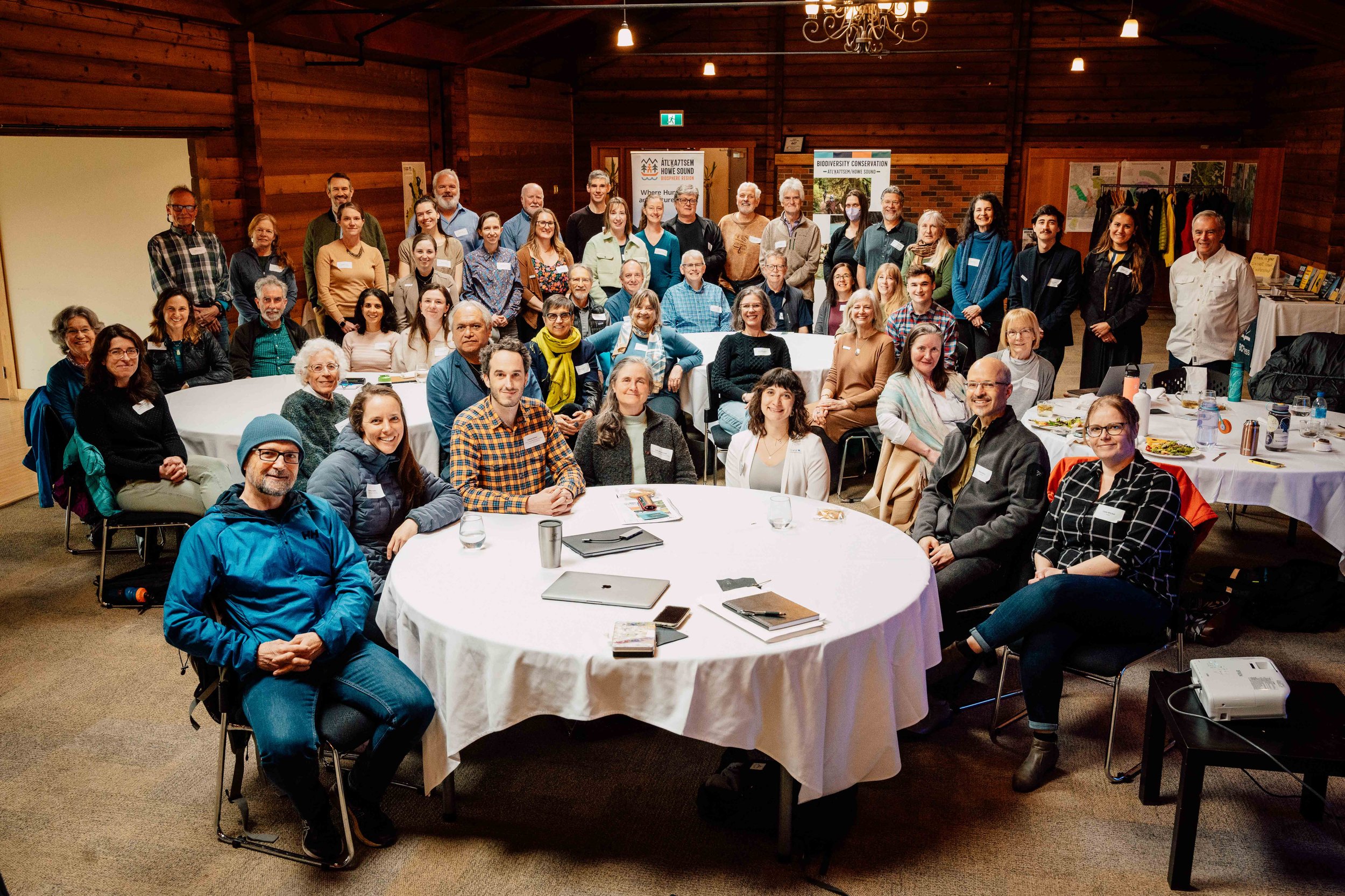
Wildlife Connectivity Plan in the Átl'ka7tsem / Howe Sound
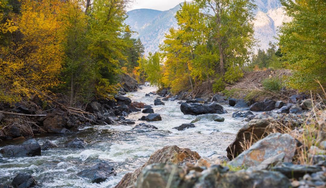
Protecting lands and restoring biodiversity in the Ashnola

- Info
- Dash
- Map
Support Establishment of Indigenous Protected Areas
Support Establishment of Indigenous Protected Areas
Changes in climate patterns are expected to impact forest recovery in the Stein. TerrAdapt's projected climate and precipitation layers, developed from ClimateNA, will help support decision making on post-fire restoration planning in the valley.
Support Establishment of Indigenous Protected Areas
Land use plans must be able to adapt to disturbances such as wildland fire. TerrAdapt's dynamic mapping function supports land planners to identify where annual changes are taking place and how they may affect targets. Fires and logging have had a large impact on the forests in the Stein Nahatlatch valley.
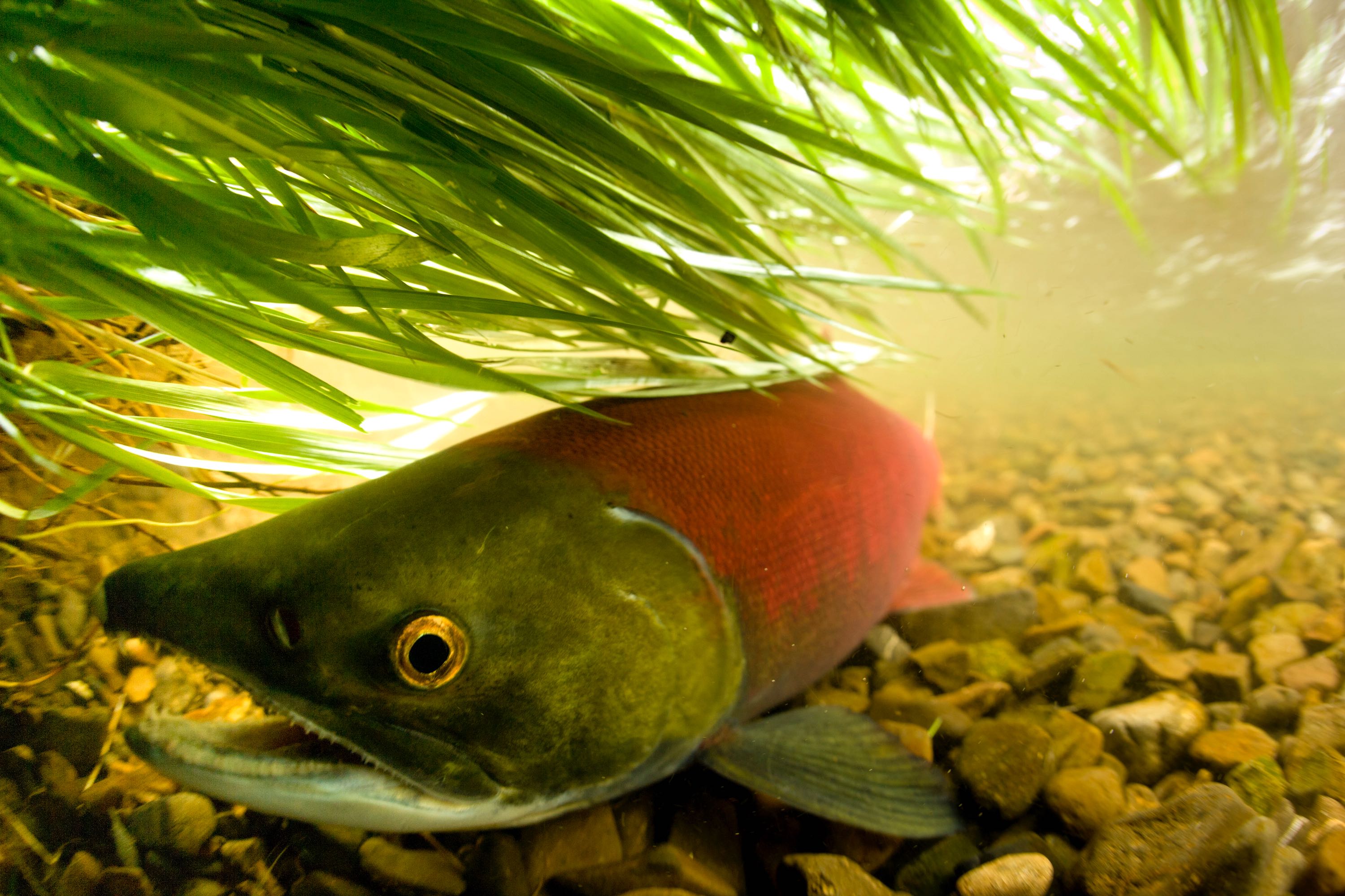
Cascadia Salmon Landscapes
News from Cascadia
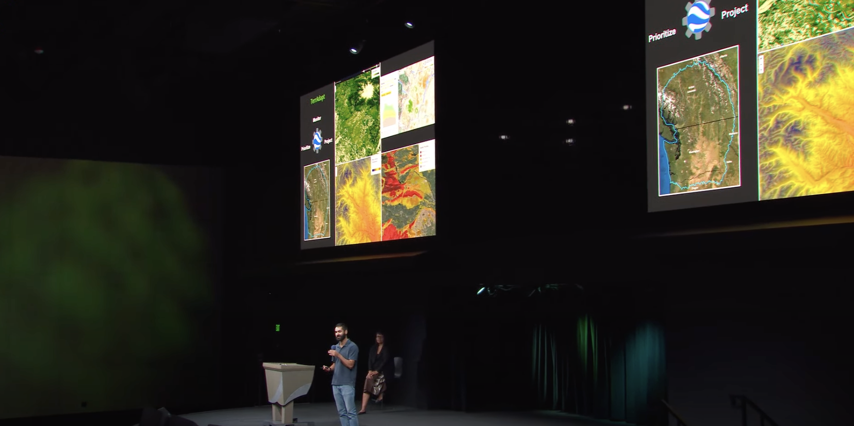
13th October 2023
TerrAdapt at Google's Geo for Good 2023
TerrAdapt presented with partners from the Lower Similkameen Indian Band at Google's Geo for Good 2023 Event in Mountain View, California.
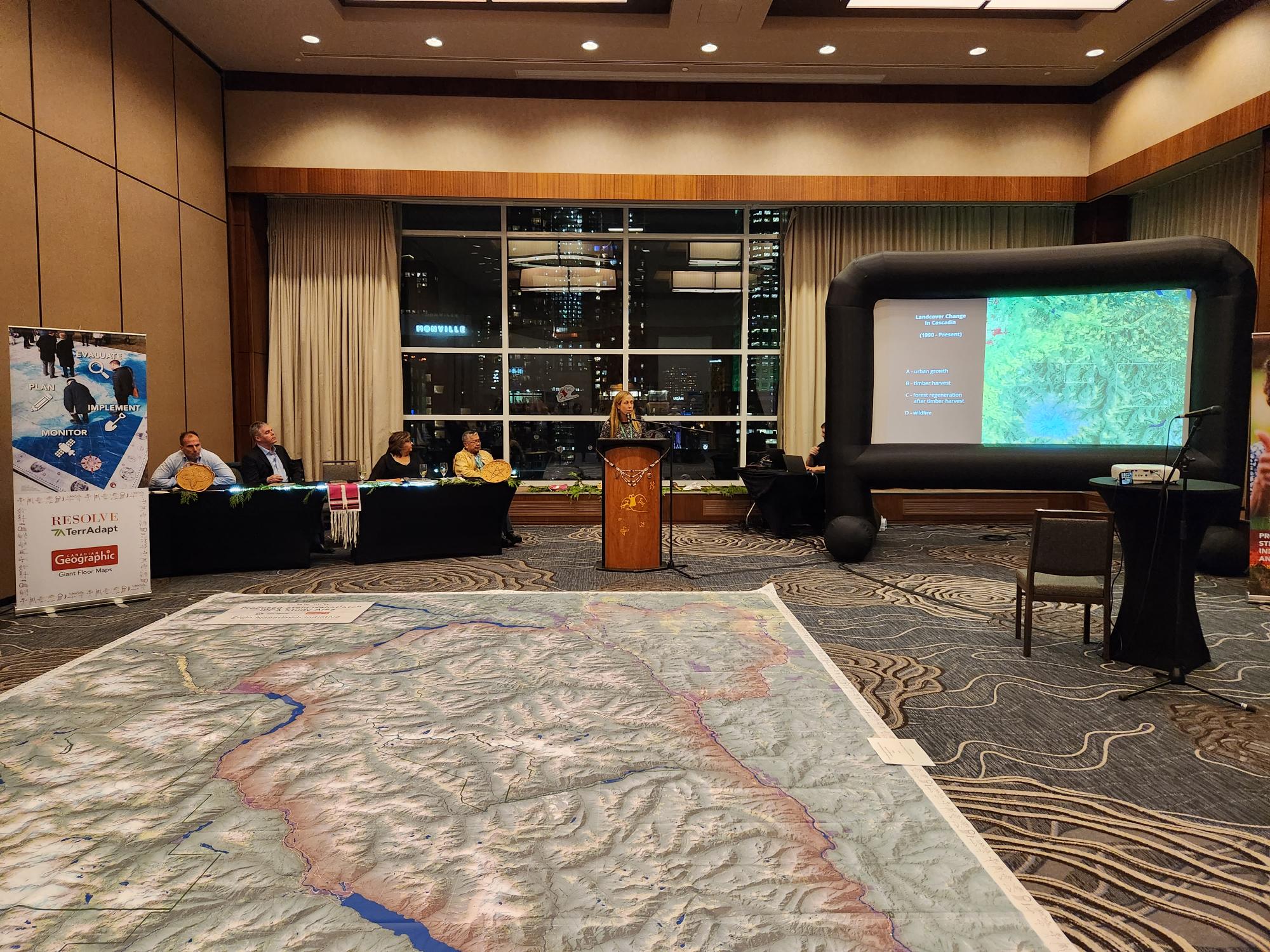
15th December 2022
TerrAdapt at COP15
TerrAdapt will support the Stein Nahatlatch Initiative to establish an Indigenous Protected and Conserved Area

17th October 2023
Supporting an Indigenous Led Restoration Vision for British Columbia
TerrAdapt featured as platform that could support province led restoration planning and monitoring.
Our Partners in Cascadia

Cascadia Partner Forum

Climate Impacts Group, University of Washington
Washington Department of Fish and Wildlife
Washington Department of Natural Resources
US Fish and Wildlife Service

Northwest Climate Adaptation Science Center

Wilburforce Foundation

Seattle City Light

RESOLVE

One Earth
Átl’ka7tsem Howe Sound Biosphere Region

Lower Similkameen Indian Band

United States National Park Service
United States Forest Service
Conservation Northwest
Charlotte Martin Foundation
Western Association of Fish and Wildlife Agencies

BC Parks

British Columbia Ministry of Environment and Climate Change Strategy
British Columbia Ministry of Forest Lands and Natural Resource Operations
Colville Confederated Tribes