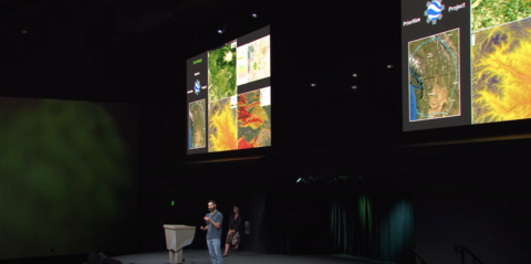
In October, TerrAdapt was invited to give a plenary talk at Google’s Geo for Good summit to showcase our technology platform and work with the Lower Similkameen Indian Band in British Columbia. As a keynote speaker for the 30x30 Conservation Plenary, we joined Lauren Terbasket from the Lower Similkameen Indian Band on stage, where we used TerrAdapt’s annual layers and dashboard outputs to show how the landscape has been altered from fires, logging, and temperature change, and the effects of these changes on key species such as grizzly bear. We also had an opportunity to talk more broadly about our platform and how we leverage Google Earth Engine and Google Cloud Platform to scale spatial models across large landscapes and update information annually for users.
The Geo for Good summit is hosted annually by the Google Earth Outreach team to bring together scientists, developers, practitioners, and local communities from around the world to learn about how to use Google’s spatial mapping products (like Google Earth Engine) and share results and stories from the ground.
Watch the full plenary here: Technology's Role in Sustaining Biodiversity 🐾🌿 | Geo for Good' 23 - YouTube