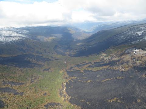
The Similkameen-Okanagan region is one of Canada’s most critical yet threatened biodiversity hotspots, harboring over 30% of British Columbia's red-listed species and more than 42 endangered or threatened species. To safeguard this vulnerable ecosystem, the Lower Similkameen Indian Band has led efforts to establish the 150,000-hectare Ashnola Indigenous Protected and Conserved Area (IPCA).
To support this initiative, TerrAdapt deployed its cloud-based, dynamic landscape and species modeling platform to provide 30-meter resolution satellite monitoring dating back to 1985. We used landcover, forest structure, rangeland vegetation, human footprint, and ecosystem data to assess landscape changes within the IPCA and identify underlying drivers from logging, wildfire, urbanization, and agriculture. Ecosystem models helped identify core habitat and areas of high connectivity value to help inform targeted restoration efforts within the IPCA. TerrAdapt species models also helped Lower Similkameen Indian Band assess the extent of grizzly bear habitat across the IPCA and understand how habitat and underlying vegetation bounces back following fires.