
TerrAdapt in Action
Our cloud-based tools and workflows can deliver dynamic monitoring and assessment and spatial decision-support to virtually any region on Earth. We partner with governments, Indigenous Peoples, and conservation NGOs anywhere that environmental stewards are struggling to keep up with our rapidly changing world, helping them monitor, project, and prioritize to meet their conservation mandates. Explore the map to learn more about how TerrAdapt is being applied.
Where next?
TerrAdapt’s cloud-based tools can be applied anywhere in the world.
To learn more about how TerrAdapt can support your efforts wherever you are please contact us.

Dynamically monitoring jaguar corridors
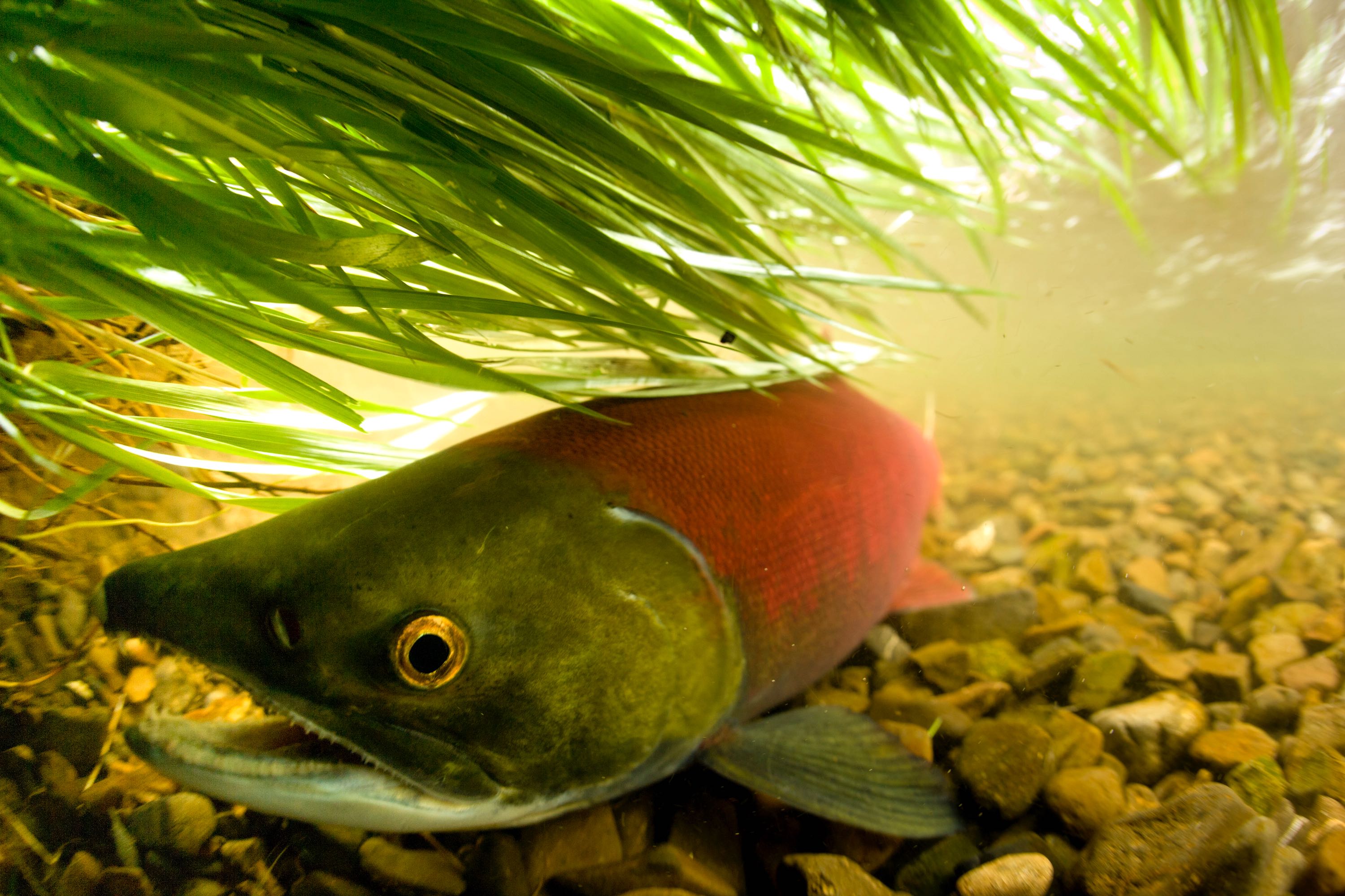
Cascadia Salmon Landscapes

Pronghorn Monitoring
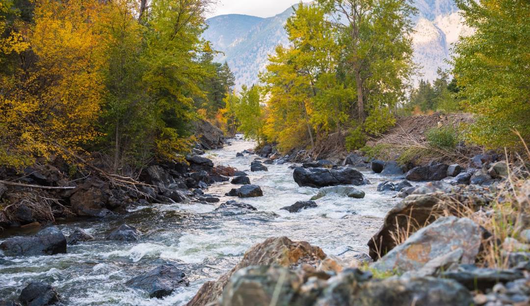
Protecting lands and restoring biodiversity in the Ashnola

Keeping pace with change in the Guinean Forests

- Info
- Dash
- Map
Washington Shrubsteppe Restoration and Resiliency Initiative
Washington Shrubsteppe Restoration and Resiliency Initiative
The dashboard page is being co-developed by TerrAdapt.org in collaboration with the Washington Shrubsteppe Restoration and Resiliency Initiative (WSRRI). These portals help users monitor the Columbia Basin's shrubsteppe landscape, project future risks from climate change, and prioritize the landscape for siting conservation actions to increase resilience to threats.
Washington Shrubsteppe Restoration and Resiliency Initiative
The map is being co-developed by TerrAdapt.org in collaboration with the Washington Shrubsteppe Restoration and Resiliency Initiative (WSRRI). These portals help users monitor the Columbia Basin's shrubsteppe landscape, project future risks from climate change, and prioritize the landscape for siting conservation actions to increase resilience to threats.
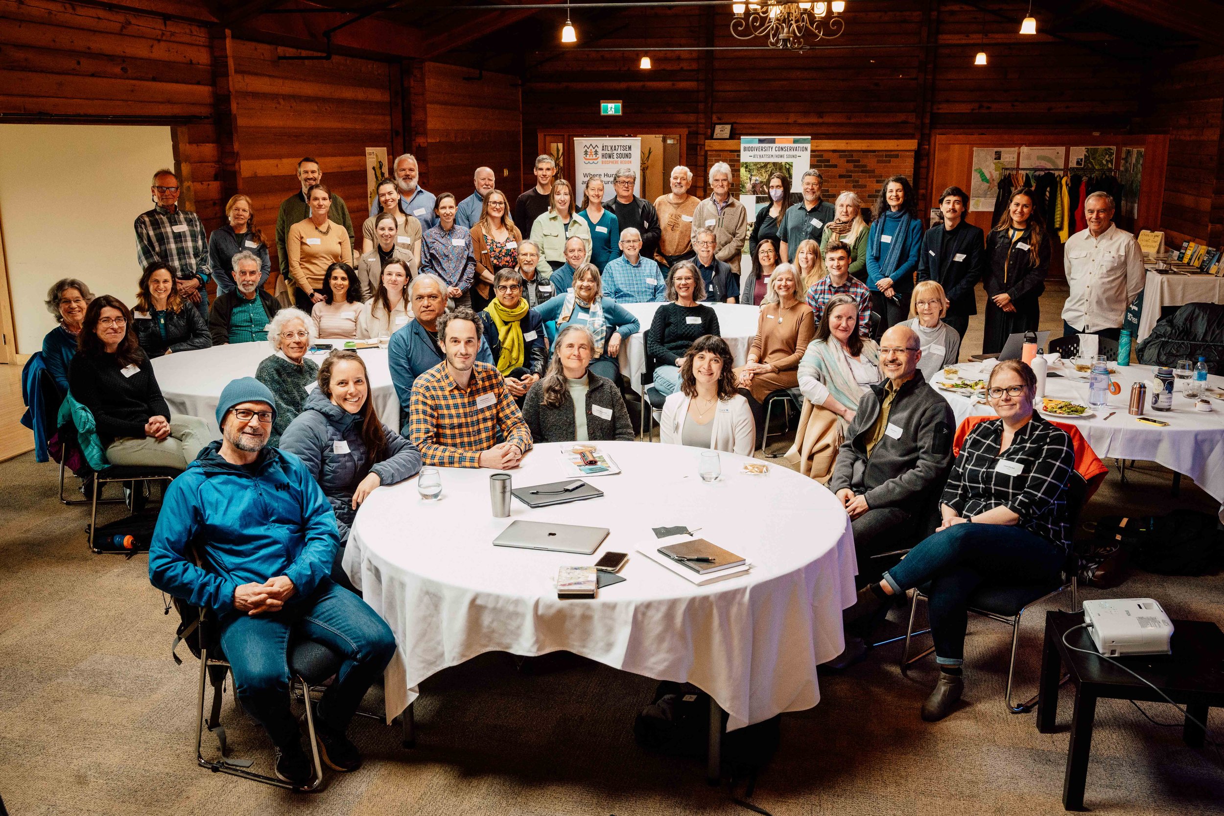
Wildlife Connectivity Plan in the Átl'ka7tsem / Howe Sound

- Info
- Dash
- Map
Support Establishment of Indigenous Protected Areas
Support Establishment of Indigenous Protected Areas
Changes in climate patterns are expected to impact forest recovery in the Stein. TerrAdapt's projected climate and precipitation layers, developed from ClimateNA, will help support decision making on post-fire restoration planning in the valley.
Support Establishment of Indigenous Protected Areas
Land use plans must be able to adapt to disturbances such as wildland fire. TerrAdapt's dynamic mapping function supports land planners to identify where annual changes are taking place and how they may affect targets. Fires and logging have had a large impact on the forests in the Stein Nahatlatch valley.